An area of low pressure will move from Central Illinois tonight through southern portions of the Lower Peninsula on Sunday. Today and Tonight will be fairly dry with increasing chances for precipitation on Sunday. Showers and thunderstorms will accompany the passage of the low on Sunday. Some of the storms could be on the strong side on Sunday. Rain showers remain in the forecast for Memorial Day as an upper low moves toward the region. Not a wash out of a Holiday weekend, but we will see some rain. The driest day will likely be today with the wettest occurring on Sunday. Highs will be near normal for this time of year.
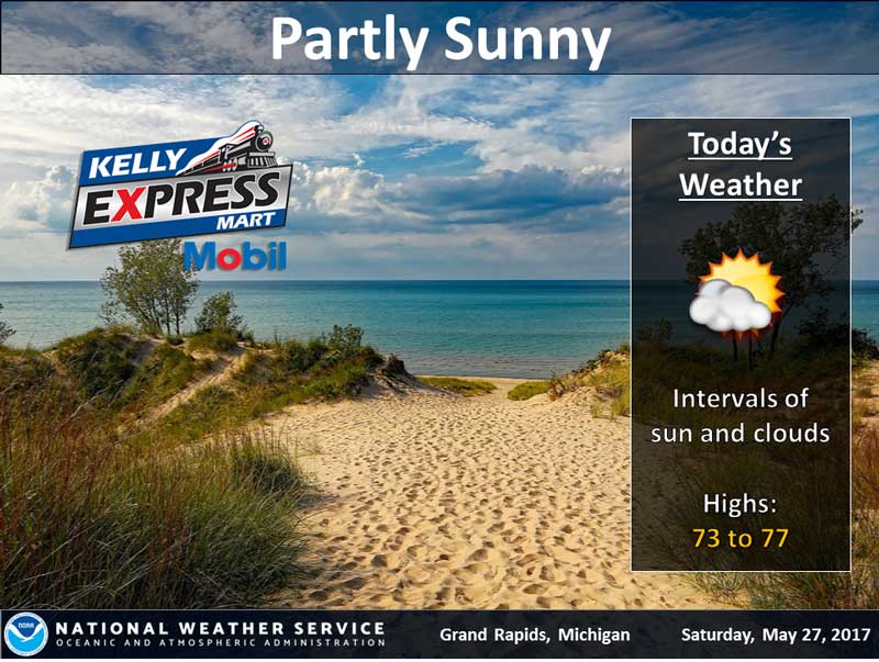
Today: Partly sunny, with a high near 75. East southeast wind 5 to 7 mph.
Tonight: Mostly cloudy, with a low around 56. South southeast wind around 6 mph.
Sunday: Showers and thunderstorms likely, mainly after 3pm. Mostly cloudy, with a high near 74. Southeast wind 8 to 11 mph, with gusts as high as 20 mph. Chance of precipitation is 70%. New rainfall amounts between a tenth and quarter of an inch, except higher amounts possible in thunderstorms.
Memorial Day: A 20 percent chance of showers and thunderstorms after 3pm. Mostly sunny, with a high near 72. Breezy, with a west southwest wind 11 to 20 mph, with gusts as high as 30 mph.
Yesterday’s high temperature in Jackson was 70 at 2:31 PM. The low was 54 at 5:26 AM.
Normal high for today is 73. The record low is 30, set in 1961. The record high is 90, set in 1978.
Highest wind speed yesterday was 12, with highest gust at 15.
0.05 inches of precipitation yesterday. Month to date rainfall: 4.11 inches.
Sunrise today at 6:07 AM EDT. Sunset at 9:04 PM EDT.